The Nevada Portion of US Route 6 takes travelers on an incredible journey, starting at the California border and heading northeast through Queen Valley with Boundary Peak–Nevada’s highest summit! Climb into the Pinyon-Juniper zone to reach Montgomery Pass (7,167 feet [2,185 m]) before descending into barren shadscale desert. Along the way you’ll pass Columbus Salt Marsh and then merge with US 95 from Coaldale Junction all of Tonopah. Here in Nevada lies a testing ground for military activities – Nevada Test & Training Range is just 15 miles southeast of your destination. With awe-inspiring landscapes spanning every mile along this route it promises be one fantastic adventure!
Just east of Tonopah, US 6 journeys through an otherworldly desertscape boasting vast mountain ranges and mysterious valleys. For those who dare to take the journey off-road down SR 375 – dubbed “The Extraterrestrial Highway” – there is no telling what’s in store! As you continue along this northeasterly route across fascinating landscapes such as Reveille Peak (over 11,500 ft!), Pancake Range or White Pine Ranges expect that barren deserts will become lush with increasing rainfall. So come explore for yourself these exotic lands set deep within Nevada’s extraterrestrial highways!
Ely is the biggest city on the Nevada Portion of US Route 6, where it joins up with US 50. East of Ely you’ll find lush forests and meadows teaming with deer and elk as well a descent down Spring Valley towards Sacramento Pass – home to Wheeler Peak, second highest mountain in Nevada! Plus there’s also Baker; an oasis of Mormon farming right before the Utah state line. All this makes for one seriously beautiful road trip… if you’re considering traveling that way then expect some jaw-dropping views along your journey!
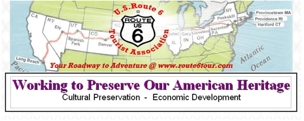
Established as a National 501(c)(3) charitable organization, as a Public Charity the U.S. Route 6 Tourist Association works to promote economic development and cultural preservation for communities located along “The Grand Army of The Republic Highway.” Spanning 3,652 miles in total, this grand old highway is an integral part of Americana with many sites rich in history waiting to be discovered! Online at https://www.route6tour.com

